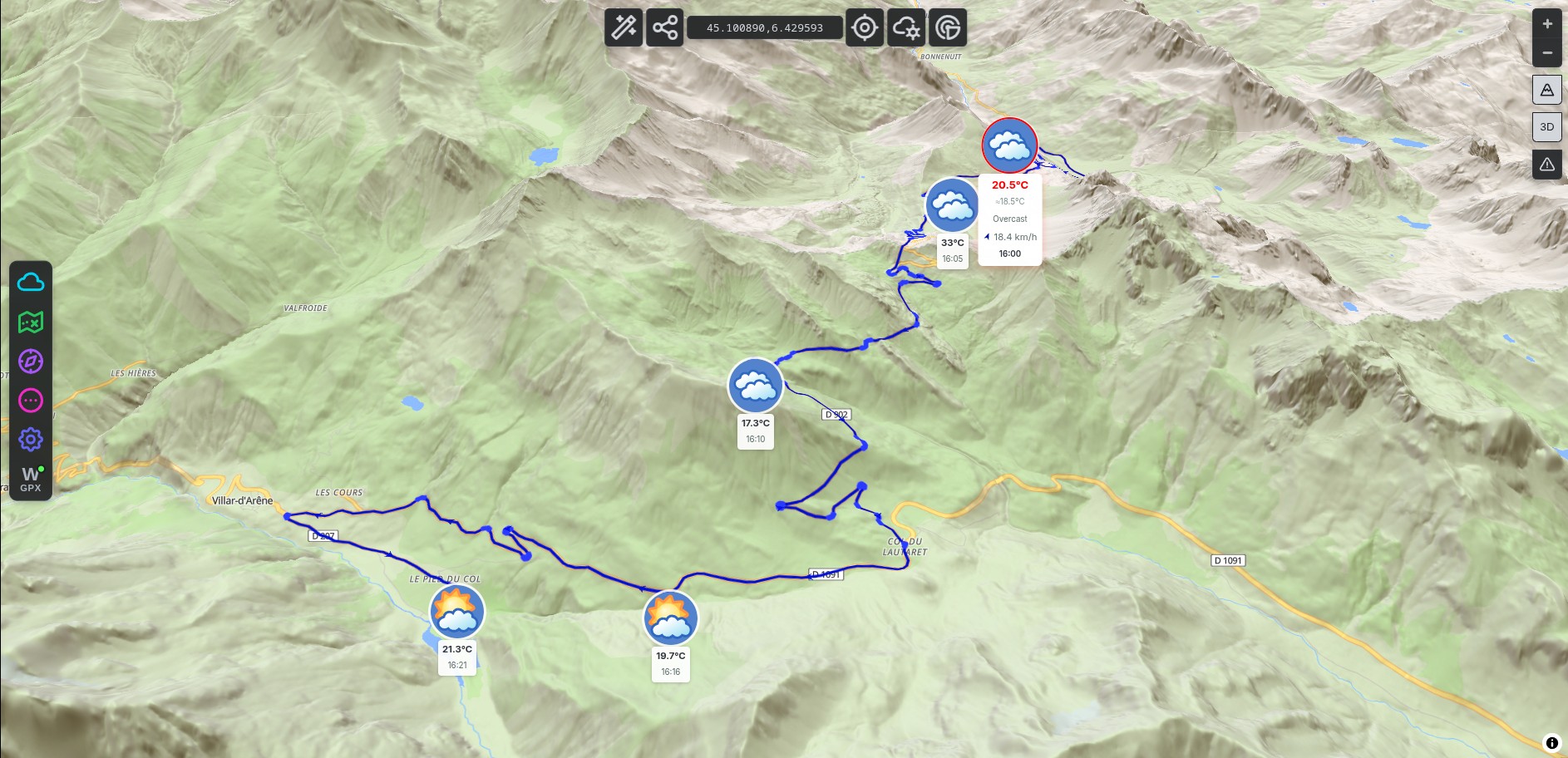
Know exactly what awaits at every col, valley and exposed ridge, timed to the hour you'll be there.
Try WeatherGPX free →
Not a generic area forecast, the weather at that exact point, at the exact hour you'll be there
Not "rain today in the region". The weather at Col du Galibier at 14:00 when you'll be crossing it. That's the difference between a soaked ride and a dry one.
Wind speed and direction at every waypoint along your route. Check the exposed ridges before you reach them, not when you're leaning into a 60 km/h crosswind.
Can't decide when to leave? WeatherGPX calculates the 5 best departure windows over the next 16 days for your specific route, not a generic area forecast.
Active wildfires, floods, earthquakes, cyclones, volcanoes and droughts, drawn on the map from NASA FIRMS and GDACS. Worth a look before you commit to a remote pass road with one way in.
Works with GPX files from Kurviger, Calimoto, Komoot, or a Google Maps directions link
Upload a GPX file from your favourite moto planner, or paste a Google Maps directions URL directly. No account needed.
Tell WeatherGPX when you leave and your realistic average speed. It calculates your arrival time at each waypoint.
Temperature, wind, rain probability at every point along your route, at the exact hour you'll be there. Up to 16 days ahead.
Free, no account needed, works on any route anywhere in the world.
Open WeatherGPX →